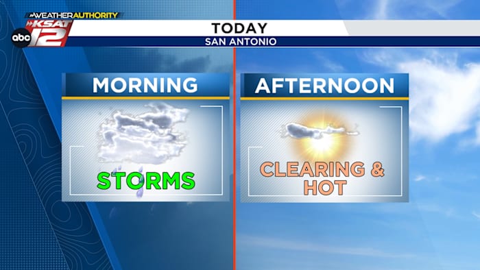
Storms are possible this morning, before skies clear and temperatures warm to near 90.
FORECAST HIGHLIGHTS
- PATCHY FOG: Expect low visibility in spots this morning
- AM STORMS: Showers and storms possible from 5am through 10am
- MIDDAY CLEARING: Skies clear and it turns hot
FORECAST
As a low pressure system slowly moves east, a round of storms is possible this morning, before clearing skies leads to a warm afternoon.
MORNING STORMS
Our window for storms is small, but any storm that develops could be strong to severe. The best odds for storms will be along and north of Highway 90. Wet weather could affect the morning commute. Any storms should push northeast of the area by 10-11am.

CLEARING SKIES
By midday, skies will clear and a combination of drier air and sunny conditions will make for a warm day. San Antonio will approach 90, while areas south and west of town could reach the mid-90s. A stray storm can’t be ruled out during the afternoon, however, the odds of seeing any pop-up storms is low (20%).

ISOLATED STORMS WEDNESDAY & THURSDAY
Isolated storms will be possible tonight into Wednesday, mainly for areas south of San Antonio. A front will slide through on Thursday, giving us one more opportunity for rain. Once that passes, drier air will move in and stay in place through the weekend.

BEAUTIFUL MOTHER’S DAY WEEKEND
Cool mornings and warm afternoons are expected for Mother’s Day weekend. Saturday will be the coolest day, with partly cloudy skies and highs only near 80. Sunday is forecast to be sunny, with temperatures in the mid-80s.

QUICK WEATHER LINKS
- WATCH LIVE: Doppler Radar
- Hourly and 10-Day Forecast
- Download FREE KSAT Weather Authority App: Up-to-date forecast information and livestreams from trusted local meteorologists.
- KSAT Connect: Share your weather photos.
�